


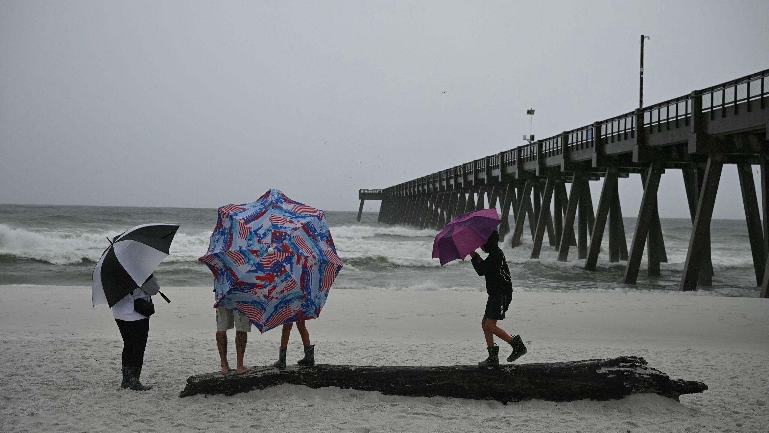
Hurricane Isaias moved closer to Florida’s Panhandle on Friday night, bringing the threat of strong winds, heavy rain, and coastal flooding. The storm was expected to make landfall east of Pensacola, raising concerns for people living along the coast.
At 8 p.m. Friday, Isaias had weakened to a Category 2 hurricane. Even with the lower rating, the storm remained dangerous. Residents were urged to follow weather alerts and prepare for changing conditions as the system approached land.
The storm’s path placed parts of the Florida Panhandle in its potential impact zone. Areas near the coast faced the risk of rough seas, strong gusts, and heavy rainfall. Local officials and weather teams continued to track the storm as it moved toward the shore.
Hurricane Isaias was expected to reach the coast east of Pensacola. The exact effects could vary from one area to another, depending on the storm’s track and strength. Coastal communities were among those most likely to face rough weather.
Strong winds can damage trees, power lines, roofs, and other structures. Heavy rain may also cause flooding in low-lying areas and on roads. These risks can rise quickly when a hurricane moves inland or slows near the coast.
People in areas under storm warnings were advised to take official guidance seriously. They were also urged to avoid driving through flooded roads and to stay away from beaches during dangerous sea conditions.
Storm surge and large waves can make coastal areas unsafe even before the center of a hurricane reaches land. Water levels may rise quickly in places exposed to strong onshore winds. Residents near the shore should be ready to move to safer ground if local officials issue an evacuation order.
The downgrade to Category 2 showed that Isaias had lost some strength by Friday evening. However, a lower category does not mean a storm is safe. Hurricanes can still cause serious damage through wind, rain, and rising water.
The storm’s effects also depend on how fast it moves and how much rain falls over a short period. Even areas outside the strongest winds may face flooding or travel problems. Power cuts can also affect homes and businesses during severe weather.
Weather experts continued to monitor the hurricane’s position and changes in its strength. Small shifts in its path can change which towns face the worst conditions. People were encouraged to check reliable local updates rather than rely on old forecasts or social media claims.
People in the storm’s path were encouraged to prepare for possible power loss and travel delays. A basic emergency kit can help families manage if they need to stay indoors for an extended period. Useful items include drinking water, food, flashlights, batteries, medicines, and charged mobile phones.
Residents should also secure loose items outside their homes. Outdoor furniture, bins, and other objects can become dangerous in strong winds. Drivers should avoid unnecessary trips as rain and poor visibility can make roads unsafe.
Anyone living in a flood-prone area should know the safest route to higher ground. Families may also wish to keep important papers and essential supplies in a dry place. Those who need extra help during an evacuation should contact local support services before conditions worsen.
Officials may change warnings as the storm moves closer to land. For that reason, residents should keep checking local emergency notices and weather reports. They should not wait until strong winds or rising water make it difficult to leave.
The Florida Panhandle remained on alert as Isaias approached its expected landfall area. The storm’s movement through the night was likely to shape the timing and reach of its strongest effects.
Although the hurricane had weakened, it still posed a threat to coastal homes, roads, and public services. Heavy rain and high water could create problems beyond the area where the strongest winds were expected.
Residents were urged to put safety first and follow instructions from local authorities. Preparing early can reduce the risk of injury and help communities respond when severe weather arrives.
As Isaias neared the coast, weather teams continued to watch its track and strength. The coming hours were expected to be important for communities east of Pensacola and other parts of the Panhandle.
